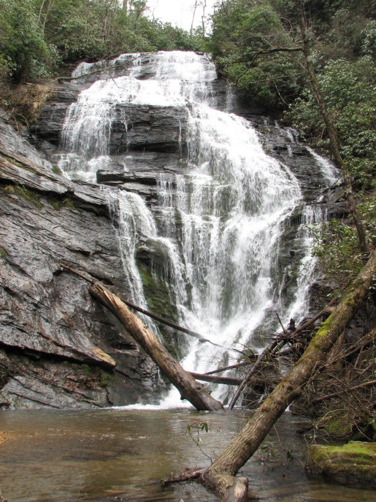
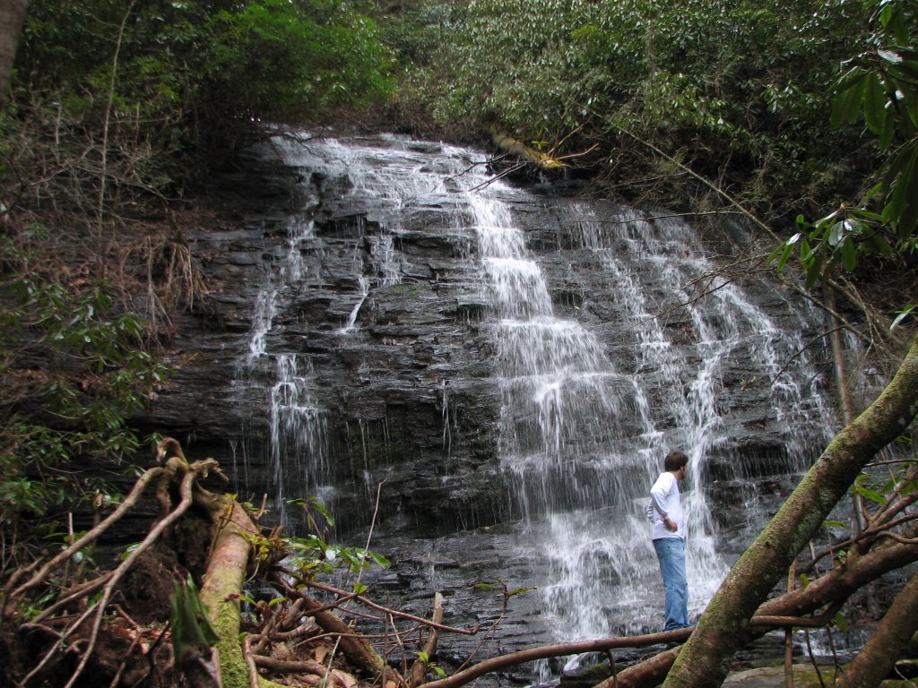
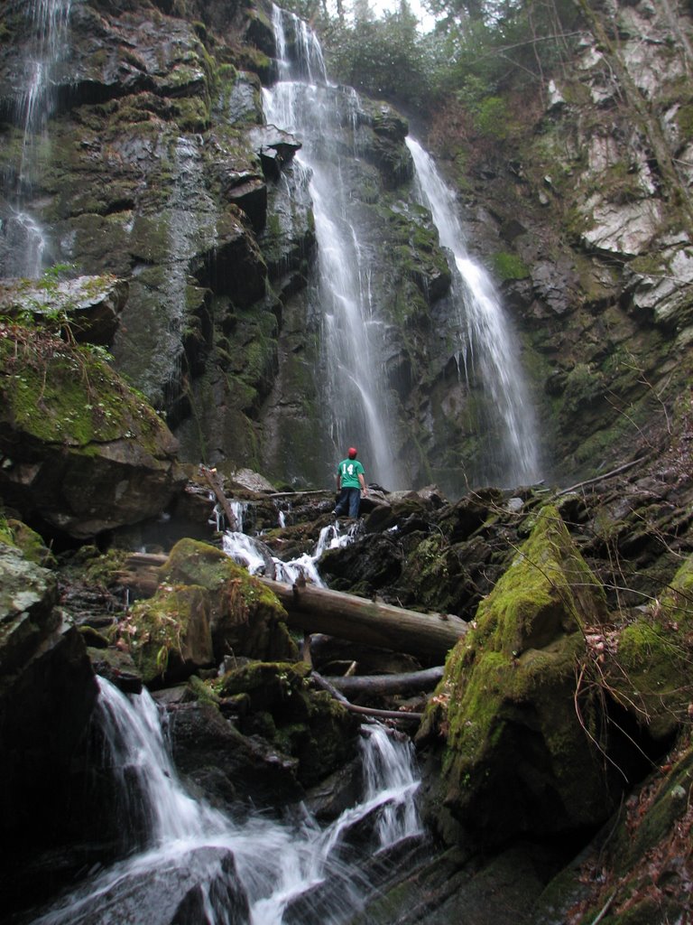
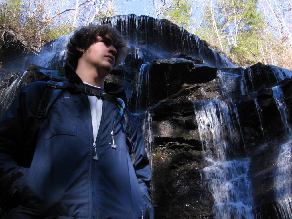
Sunday, December 31, 2006

Chattooga - Part 14

...continued from Saturday, December 30.

Not much further ahead a small, flat area about ten feet above the riverbank looked to be a suitable spot to set up camp for the night. Local regulations which require campsites to be set up no closer than fifty feet from the river were decidedly ignored. The rain had increased to a soaking downpour and complicated the setup. There would be no dry place on which to set up the makeshift “tent.” The “tent” included one large piece of plastic, nylon string and the tan poncho to be used as the floor. The plastic was quickly strung up between a few small trees and provided barely adequate shelter.

With the “tent” finished, the gathering of wood for a fire commenced. Finding dry wood immediately presented itself as an issue, but with enough time and energy a suitable pile of kindling and timber found its way into the pile. Starting a fire using wet wood is complicated at the very least – frustrating and nearly impossible are probably better descriptions.

Check back soon for the next installment...

Saturday, December 30, 2006

Chattooga - Part 13

...continued from Friday, December 29.

Big Bend signaled its goodbye as we plodded away from it and toward the next set of waterfalls – Licklog and Pigpen. Miles separated Big Bend from the others, but the trail lay flat between and weaved a serpentine path along the ravine walls.

Puffy, white clouds slowly became grey and covered the sky as far as the limited view would permit. The thickening humidity warned of an ominous peril for hikers: thunderstorms! The search for a suitable place to set up camp began, but the steep grades would allow no such thing. Long, low rumbles came rolling over the ridgelines, quickening the walking pace. It would be nearly an hour before the first raindrops softly pattered the leaves.

The forecast for the day had mentioned a forty percent chance of rain which, according to Murphy’s Law, meant precipitation was inevitable. The slow rate of the rainfall picked up until clothes and packs became damp - an indication that it was time for ponchos. One GI style, tan poncho emerged from a pack along with an “engineered poncho,” a euphemism for a piece of plastic with a hole cut for one’s head.

Check back soon for the next installment...

Friday, December 29, 2006

Chattooga - Part 12

...continued from Thursday, December 28.

Back on the journey, the trail tightened to a corridor of trees on each side with the river visible through the braches on the right - the path still a distinctive dirt strip. A slight, downhill grade made walking nearly effortless and afforded a chance to concentrate on taking in the natural beauty of the area.

The dominate green of the leaves oversaturated the view in an almost surreal way, contrasted only by the deep brown hues of the path and the tree trunks. The thick sound of water rushing over large rocks complimented the deep colors of nature. Glimpses of the rapidly quickening water and the growing cacophony signaled the approach of Big Bend.

Big Bend Falls spans the entire width of Chattooga, plummeting 15 feet in its entirety. Though a modest waterfall, Big Bend makes up for is small size with volume. A wall of water drops over the first ledge and creates a roar that can almost be described as deafening.

Check back soon for the next installment...

Thursday, December 28, 2006

Chattooga - Part 11

...continued from Friday, December 1.

The dirt path meandered by the last campsites and drew close to the river’s edge. Feet strode no more than a couple of absent-minded steps from a fall into the deep, cool water. The walk traversed mostly level ground and would have been a boring section without the quickening pace of the watercourse.

Empty stomachs brought up the discussion of lunch. The next open area with a fire pit would signal time for a meal. Forty-five minutes and more than a few voiced complaints about lack of viable stopping points later, packs were opened for the first time since setting out on the trip. Food and fire-starting gear were brought out and a small, efficient fire was started.

Canned food is generally a bad choice of hiking provisions; the extra weight adding unnecessary pounds to the packs. An exception to the rule found Chef Boyardee ravioli sizzling in tiny mess pans. An attempt to produce forks from the bags proved a moot trial. Silverware: a forgotten necessity. Out of the packs came the knives. A nearly weightless skeleton knife and the legendary BFK would have to function as forks. One is extremely careful when endeavoring to eat with a razor-sharp utensil.

Mess kits met river water and knife blades were wiped clean of victuals. The intricate packing of mess kits can be an art in itself. Memorization of the order is essential. The diminutive cup rests inside the miniature pot. The pair then lies in between the plate and the pan, the handle of which acts as a latch to hold it all together. The process is comparable to opening and closing a Russian nesting doll.

Check back soon for the next installment...

Friday, December 01, 2006

Chattooga - Part 10

...continued from Thursday, November 16.


The first campsite offered a strange encounter: Adventure Scouts, the co-ed version of the Boy Scouts. The co-ed crew was anything but mixed gender, consisting of 5 girls under 18 and a forty-something woman scout leader. Disheveled hair and grungy clothes marked the woman, who had obviously seen her share of the outdoors.

The first sight of the camp revealed three small tents, a more than adequate fire pit, between-the-trees clotheslines, a large pile of firewood and the aforementioned group. Appropriately located nearest the “bath house”, the oversized campsite was anything but shabby. Everything was placed neatly but efficiently. Nothing was unnecessarily unpacked and everyone shared what was used. It could be called a perfect model for a recreational pleasure-seeker.

The six companions - a later conversation disclosed - had been hiking for five weeks already and had two more weeks to go before the summer expedition was complete. The girls had driven from the unexciting terrain of Florida up to the lower end of Appalachia. Tennessee, Kentucky and North Carolina trails had previously been navigated and South Carolina was the last destination of their journey. Oconee State Park for the Fourth would be their final stop before packing up and heading home.

A light conversation turned into an hour of spent time. After the standard topics of discussion were covered, dialogue ranged from life dreams and aspirations to random hiking adventures. The majority of the conversation was one-sided, coming mostly from the woman. A short while later, following goodbyes and a declined offer for dinner cooked by the girls, eyes turned south and on toward Big Bend.

Check back soon for the next installment...

Thursday, November 16, 2006

Chattooga - Part 9

...continued from Tuesday, November 14.

Chattooga runs strewn with boulders along most of its length, creating a system of rapids and eddies. The river’s features create a paradise for kayakers and rafters alike. Deep, placid pools can turn quickly to raging rapids and waterfalls. Novice navigators, along with the advanced, find enjoyable trips on the scenic waters.

Burrell’s Ford Campground is a favorite destination for many hikers and campers. With its many campsites and proximity to the river, Burrell’s Ford is the perfect stop on the long Foothills Trail hike from Table Rock to Oconee State Park. The peaks of tents are a welcome sight to weary travelers. This day’s hike would require more walking before setting up camp. Burrell’s Ford sits over ten miles from Highway 28 - the final destination.

The campground was once accessible by car, which is evidenced by the gravel roadbed that runs right up to the first campsites. The rugged roadbed lies basically useless for any vehicles other than the most heavy-duty four-wheel drives because of steep runoff ditches cut at angles across the road.

Check back soon for the next installment...

Tuesday, November 14, 2006

Chattooga - Part 8

...continued from Monday, November 13

The Foothills Trail overlaps the Chattooga Trail a few miles from Fish Hatchery Road. At the intersection, a left turn moves the path farther from the northern end of Chattooga, Ellicott Rock and the North Carolina border. The last section of Foothills before meeting the river trail slowly migrates toward the water until it meets Burrell’s Ford Campground.

It was two hours after setting out before the sound of gurgling water met eager ears. The flat trail slowly started descending to the river basin. The path had been relatively straight, but it began making the first of many twists and turns which would follow.

Chattooga River runs through a deep valley along the Georgia border, creating the jagged state line. Standing high above the water, the trail heads southwest toward Highway 28. Ellicott Rock Wilderness Area boasts a three-state river rock - plaque included. Georgia, North and South Carolina converge on the spot. Hikers often stand on the rock claiming to be in three places at once.

Check back soon for the next installment...

Monday, November 13, 2006

Chattooga - Part 7

...continued from Monday, October 23

The walk from Fish Hatchery to Chattooga is less than picturesque. Flat terrain and trees are about the only things in view until midway to the river. Three and a half miles separated the parking area from the river. If any hike can be boring it is this section.

The air stood still; shadows of branches showing no movement. Most vernal days the forest ground seems to be a woodland dance floor with its dark figures fluttering and flittering about like nature’s fanciful ballerinas. Of course music is the dancer’s compliment. Songbirds provide the melody and the wind in the trees is the fluid accompaniment. Summer days are often much more quiet – a subdued tranquility.

A few, stray clouds strafed the beaming sun. The fiery orb floated high over the canopy, sending its rays between boughs. The synthesis of sun and shade created a nice climate. The temperature became more pleasant, if but only slightly hot.

The same muscles that were tight only moments earlier moved much easier and walking became a syncopated cadence. Two pairs of shoes plodded on with distinct footfalls – one heavy and almost labored, the other sure and steady. Final adjustments were made to pack straps, ensuring that the burdens didn’t bounce or sag. A sore back is the last thing a tired hiker needs.

Check back soon for the next installment...

Monday, October 23, 2006

Chattooga - Part 6

...continued from Thursday, October 19...

With the heavy packs tightened on fresh backs, the journey began. The path was well marked and had seen many visitors in its storied past. Two more pairs of worn, hiking shoes would make their mark on the trail.

As always, the walking pace was swift, although a bit slower than normal. Regulating speed is crucial when setting out on long hikes. Walk too fast and run the risk of collapse. Muscles can only take so much punishment before shutting down. Walk too slowly and consign yourself to staying out another night.

Less than 15 minutes in a familiar sight met us. The man and his dog came jogging along the path back towards the vehicles, both guy and canine panting in rhythm with their steps.

Check back soon for the next installment...

Thursday, October 19, 2006

Chattooga - Part 5

...continued from Tuesday, October 17...

Another car turned onto the road and parked across the way. An athletic man hopped out and opened the back door of his blue station wagon. Out came a diminutive, tan dog, hyperactive and ready for a jog. The man clicked a leash on the dog and they bounded off into the woods just behind the car. A swift pace stated that they would not be long on their outing.

The weather was pleasant for most anything but hiking. Temperatures in the mid-eighties with clear skies make for a hot day on the trail. The air stood thick with humidity, but not so thick that breathing becomes labored. In those conditions it takes about five and a half minutes for perspiration to soak through two layers of clothes, leaving the form of a backpack in sweat lines.

The entry point of the Foothills Trail into the woods is marked by an old, wooden sign just large enough to read within fifty feet. The hike from Table Rock State Park to Fish Hatchery Road is littered with grand vistas and steep mountainsides. Foothills takes you up Pinnacle Mountain, over to Sassafras Mountain (the highest in South Carolina), up and down the Jocassee Gorges, over the Toxaway River and then drops out of the forest on Fish Hatchery Road. The quiet nature of the spot can mislead the novice hiker into believing that Foothills is no challenge, but difficult travels are on either side of the road. A four foot wide gap in the trees points in the direction of the river and to another awe-inspiring expedition.

Check back soon for the next installment...

Tuesday, October 17, 2006

Chattooga - Part 4

...continued from Monday, October 16...

The road to the fish hatchery is a winding, never-ending path down into the valley. After seeming miles of twisted, barely-two-lane back road, one finds the Oconee fish hatchery with its long, narrow pools brimming with beautiful, silver trout. It’s been said, “Give a man a fish; feed him for a day. Teach a man to fish; feed him for a lifetime.” A good tagline might be, “Show a man how to get to the fish hatchery; feed him without teaching him a darn thing.” The vehicles pulled off only yards down the road, a long way from the angler’s paradise.

The Foothills Trail makes its crossing of Fish Hatchery Road at a small pull off. Five cars could fit in the area if they were perfectly placed. The white sedan came to a stop on the far right side of the small clearing. Legs stretched after an hour of driving, almost mocking the trail which stood only yards away. Those same legs would be aching in a day’s time, wishing for a hot, soaking shower and a long sleep.

Check back soon for the next installment...

Monday, October 16, 2006

Chattooga - Part 3

...continued from Saturday, October 14...


Mountain curves slalomed lazily back and forth through the countryside, rising higher with each turn. Issaqueena passed as she had many times before. Scenic overlooks, marked by small parking areas, are void of viewers at such an early time. A few hours later and vehicles would be driving by slow looking for places to park for the grand views.

The bridge over the Chattooga. Georgia state line. The cars parked just beyond the bridge in a small, gravel parking area lot along with several fishermen’s trucks. One backpack transfer later, a single car pulled out of leaving the other to “sit for a spell”.

Several miles back down Highway 28, a fork in the road awaits our left turn. Heading up Highway 170, the pavement narrows and the esses grow tighter. Climbing into the mountains, the automobiles snake by Burrell’s Ford and Oconee State Park.

Check back soon for the next installment...

Saturday, October 14, 2006

Chattooga - Part 2

...continued from Friday, October 13...


Morning packing measures included locating the last toiletries and completing a mental checklist of items at least twenty eight times. No amount of packing, repacking and confirmation of supplies can assuage the anxiety of leaving something behind…and not without good reason. “Change of clothes – check; extra socks – check; food, food and more food – check; maps – check; compass – check; BFK ‘Big Friggin’ Knife’ – check; trash bags for ‘Pack it in, pack it out’ – check; foam sleeping pad – check; 50 degree liner – check. That’s it…right? Ummmm. Ok, go through it one more time.”

The bags and bodies migrated to the cars and it was off to find sustenance for the rest of the morning. McDonald’s breakfast combos make an acceptable morning meal. Sausage biscuits and hash browns on both sides of the table were quickly consumed and the drive continued. Clemson disappeared and Seneca neared.

Middle class homeowners were already at home improvement stores buying fix-it-yourself items and lawn care products. The cars passed Lowes and turned just before Home Depot. Highway 28 took the tiny caravan through the tired town of Walhalla, a community still fighting the War Between the States and winning by many accounts.

Check back soon for the next installment...

Friday, October 13, 2006

Chattooga - Part 1

Chattooga is a semi-fiction short story account of a hike that Andrew Pierce and I made this summer. The Chattooga Trail is a 15 mile trek that follows the famous river along the South Carolina-Georgia border. I hope you enjoy the story.

A light morning fog hovered in the distance, but would soon disappear with the hot, summer sun which peeked just over the pines. Preparations weeks in advance had been made for an adventure to come…which would be just that. Money spent was justified as necessary expense. Who wants to be stranded in the mountains without ten pounds of beef jerky?

Backpacks full and heavy sat inert in anticipation for the journey and their first true test of worth. Forgotten articles would not have fit anyway; at least that was the sentiment and justification afterwards. Good sleep was interrupted early and is as valuable as anything that can be packed. It would have been nice to have crammed in a couple more hours.

“To sleep; to dream…” When Shakespeare compared death to sleep, he could have said it vice versa. A sleep so deep that one is merely dead and dreaming. Even after climbing out of bed, one is not alive. “To sleep; to dream…” and Yeats then argued, “but I…have naught but my dreams.” If only dreams were reality, the trip would have been flawless - flora and fauna welcoming all visitors like in a Disney movie song. A nice, hot shower moves the mind from groggy, ethereal dreams to the awakened reality of the day.


Check back soon for the next installment...

Thursday, September 28, 2006

20 mph Speed Limit

Two o'clock didn't come soon enough and waiting around for people is not enjoyable when you're heading to the lake...

Saturday, a group of friends went out to Lake Hartwell to go boating. Abram Rampey brought his boat and Katherine Bowyer brought a jet ski. Andrew Pierce, Jarred Mann, Matt Bentley, Jason Williams and Michelle Lavengood were along for the fun...and what fun it was!

We left about two thirty Saturday afternoon - a late start - and headed to Abram's house to get the boat, which was in need of fuel. A quick stopover at the gas station and we were on our way. Katherine and Michelle were already on the lake enjoying the thrills of the Sea Doo when we shoved off.

Less than five minutes had passed before someone was on a tube flying around behind the boat. After some time, we hooked up a second - and much larger - tube alongside the first, but not before Abram shredded a tube line in the prop. The speed limit written on the large tube: "20 mph". What kind of fun can you have at 20 mph? That warning was rarely heeded.

Someone managed to flip the jet ski over and flood the engine. Thirty minutes of waiting and it finally cranked again. I'm glad it did, because I got to drive it later on. My first experience on a jet ski was one of first caution, then exhiliration, then sadness...I had to relinquish the controls.

Many wild rides were experienced on the tubes. Michelle completed a full flip and stayed on the tube. Katherine, Andrew and Matt got the full wrath of Abram's crazy driving (I feared for the life of all). Matt actually cut a flip in the air, flew off his tube and landed on Jarred. Matt and I found out what it's like to go over thirty miles and hour on tubes. It's insane. 20 mph Abram! 20 mph!!!

When we returned to the Rampeys' house - hours after dark and tired from the day - Dr. and Mrs, Rampey fixed us dinner: bratwersts and potato wedges plus brownies and ice cream. Mmmm mmmm goooooooood!!!

A fun day had by all. Many thanks to Katherine and the Rampeys.

Monday, September 04, 2006

Landslide Falls

Andrew and I went hiking to Jones Gap Falls, which is located just west of Jones Gap State Park. The trail was fairly easy until we got to the bridge across the Middle Saluda River. "Trail Closed" a sign warned. We crossed the bridge and continued on unaware of what we would see. Pictures of the Jones Gap landslide had done it no justice. A giant gash was carved out of the hillside as high and as low as we could see. Giant rocks and large trees were strewn about like tinkertoys in a child's room.
We proceeded to cross and continue on to Jones Gap Falls which made a right turn not far past the slide area. It was a serene place with the mixed sounds of trickling and splashing waters. A nice place to relax, shaded from both the sun and the cares of life. Check off another of the Upstate's waterfalls that I've visited.
The list is now as follows:
1. Big Bend Falls on the Chattooga River
2. Chauga Narrows on the Chauga River
3. Issaqueena Falls past Walhalla on Hwy. 28


4. King Creek Falls near Burrell's Ford on King's Creek by the Chattooga River


5. Spoonauger Falls near Burrell's Ford on Spoonauger Creek by the Chattooga River


6. Lee Falls on Tamassee Creek


7. Licklog Falls on the Chattooga River
8. Pigpen Falls on the Chattooga River
9. Lower Whitewater Falls at Lake Jocassee
10. Miuka Falls on the Winding Stairs Trail
11. Secret Falls off the Winding Stairs Trail
12. Station Cove Falls at the historic Oconee Station Site
13. Yellow Branch Falls across from Issaqueena Falls on Hwy. 28 past Walhalla


14. Falls Creek Falls on the east end of the Mountain Bridge Wilderness Area and Jones Gap State Park via Hospital Rock Trail


15. Jones Gap Falls on the Jones Gap Trail
16. Raven Cliff Falls from the top via the Foothills Trail and the lookout across the valley


17. Laurel Fork Falls on Lake Jocassee
18. Twin Falls west of Table Rock
19. Carrick Creek Falls in Table Rock State Park
20. Spring Bluff Falls via Pinnacle Mountain Trail
21. Mill Creek Falls via Pinnacle Mountain Trail


22. Reedy River Falls in downtown Greenville

Sunday, September 03, 2006

Cold Water and a Copperhead

[Original post March 27, 2006]
Saturday, Drew and I went hiking at Keowee-Toxaway State Park. The trail passed Natural Bridge and Raven Rock on the way to a lakeside view. Natural Bridge is a rock that is hollow underneath. A small creek passes under it. It was dissappointing to say the least. Raven Rock also left much to be desired. No ravens were to be seen...nor was much of anything else for that matter, except for trees and the rock.

The trail down to the lake was steep...really steep. I was scared that we wouldn't be able to make it back up with forty-pound packs on our backs. The trail spit us out on a small camping area beside a cove.


A golf course and several houses were across the lake from us, but at least we had the unspoiled cove. After getting our feet wet in the icy water, we noticed some large rocks about a hundred yards around the water's edge. We were compelled by some unseen force to get over to them. Steep hills and thick brush blocked our way, but nothing would keep us from our goal. We finally made it over to the rocks, which now seemed much higher off the water than from our previous vantage point. We made our way down to smaller rocks and, of course, Andrew had to jump in. I followed suit soon after. The water was frigid, but refreshing. Soon, Andrew decided that he would have to jump from the higher rocks, twenty-five feet off the water. With a running jump, flailing arms and a boy-like scream, Andrew flew out into the air.


On our trip back, we saw a cool lizard.


I nearly stepped on a Copperhead, so we had to take pics of it.


So what was in our packs to make them forty pounds?


Two dictionaries and a one-volume New Testament Commentary in my pack. A twelve-pack of Cheerwine, a camelpack, a Nalgene bottle and a Maglight in Andrew's pack.

We'll be back to go rock jumping soon. Guaranteed!

Saturday, September 02, 2006

Studio Backdrop

A cold breeze met us with absolute contempt. "Are you really dumb enough to go hiking today?" it smacked at our ears. "Why yes I am!" came the dumb reply from my mind. Since when has freezing temps kept us at home?
Liberty and Pickens breezed by us and Pumpkintown nearly missed us as we sped by. Caesar kept watch over the foothills and Piedmont, but we continued on to the trailhead for Raven Cliff.
By eleven we were leaving any trace of civilization behind. The trail began to undulate with the ridges and forty pounds in my pack seemed like a hundred. Soon, though, my tight muscles would relax and we maintained a quick pace. At the highest elevations, we looked out over the mountainous terrain which sprawled out beside us. The hillside below descended quickly and disappeared before touching bottom. The lowest elevations were hidden from our sight. The world was unreal for a time. It was as though we were in the world's largest movie lot. The terrain derectly beside us was real, but beyond that sharp edge lay the most beautiful studio backdrop I've ever seen. Mountains in their deep green met the sky with it's sharp blue. The Artist's work was incredible. No human touch could be seen; it was all God's awesome Creation.
The trail began to descend slightly and soon we were on nearly flat ground. The winding dirt path became rocky and fell into what looked like an old streambed. We walked under the face of the earth for a while until the trail rose out of the deep rut. The way was still very rocky; our road looking like something from a Robert Frost poem.


Soon, our path led us down to a river which we followed for a short while until we reached a bridge. The bridge was like none I've ever seen before. It was a wooden cable-supported suspension bridge. The cables were cemented into the rock on each side of the span. The bridge swayed with our steps but made not one sound in its moving.


(Sorry about the pic quality on this one, it is a screen capture from a video)
It wasn't long before we had to make our way down to the rocks. The navigation of the "trail" down to the falls was tricky to say the least. We finally made it down and began the tedious crossing of the slick rocks. We realized that this 420 foot waterfall was not one continuous drop, but a series of steps that culminated in one large plummet of well over a hundred feet.


As the egde came nearer, we slowed our pace. The world fell away to the depths, and our view became trees across the deep valley. Minutes passed as we built the courage to approach the edge. Thoughts of my fall earlier in the year crossed my mind and I hesitated to go any closer. I had to do it though; for me...and to get some cool photos. I hovered at the edge, teetering forward to get the entire shot down the falls. I couldn't take it for long and had to step back. It was Jarred's turn. I could hardly watch. I was able to walk to the edge, but I certainly couldn't watch anyone else do it. Thoughts of a splatter stain on the rocks below ran through my head as Jarred peered over the precipice.

We headed back to the trail and started the difficult climb back up to the bridge. I shot a quick video from the middle of the bridge (from which the photo of the bridge in this blog entry came from) and we were off. The four-mile hike back was a time of reflection, but our day was not over yet.

A quick stop at Caesar's Head gave Jarred the chance to climb in the Devil's Kitchen.


The view from Caesar's Head is a panorama of many of South Carolina's natural treasures. Table Rock and Pinnalce Mountain stand in sharp contrast to the Piedmont in the south. Just to the north (right) of Table Rock is Jones Gap, a deep and craggy valley that looks nearly impassable. Just below the observation deck and through Devil's Kitchen is a profile view of Caesar's Head.


We headed back to the car after a few minutes and started back toward Central. On the way down the snaking mountain highway, I put the car in neutral and coasted for several miles. Pumpkintown, Pickens and Liberty passed us again, waiving their backcountry hands and yellin' "Ya'll come back now!" I'm sure we'll be back again soon.