Showing posts with label Waterfalls. Show all posts

Saturday, June 02, 2007

It's been awhile, Jocassee

Summer 2004

Southern Wesleyan University Ministry Teams experience some great youth camps up and down the eastern seaboard, but sometimes are allowed to participate in some untraditional events. A SWU senior citizen gathering called Southern Celebration brought dozens of 60, 70 and 80 year old alumni together for a week-long adventure seeking the waterfalls of the South Carolina Upstate. The highlight of the week had all the alumni and the ministry team members on boats discovering Lake Jocassee, South Carolina's most scenic lake.

The line of pontoon boats visited waterfalls including Lower Whitewater and Laurel Fork falls, at which the boat pulled into a narrow cove only inches wider than the vessel itself. The waterfall plunged into the lake a few feet from the boat and provided a great spot for some cliff jumping for the few brave souls who dared to climb the treacherous rocks.

Back out on the open water, we spotted a rock jutting out of the lake. A perfect spot from which to jump. Not only did the young ministry team students go for a leap, but one of the alumni hopped out of the boat and joined. Her name was Ruth and she was 67 years old at the time. That trip is solidified as one of my fondest memories.

Fast forward to today, June 2nd, 2007.

Alarm - 6:30 a.m.
I didn't want to get up but had to be ready to go by 7. I hopped out of bed and got dressed in swimming shorts just in case I decided to take a swim. As 7 rolled around the truck pulled up and I went out to greet Doc.

[Dr. Roger "Doc" MacKenzie is the chair of the Religion Division at Southern Wesleyan. I had the pleasure of having nearly every course that he teaches. Our trip to Jocassee would have us meet Dr. Rocky Nation, professor of Biology at SWU and avid outdoorsman. I would be borrowing one of his kayaks for the day.]

First stop - Hardee's for a biscuit to start the day off right. Then back to the road to drive up Highway 130 to 11. A right turn on 11 and then the road to Devils Fork State Park. After park fees were paid, the truck meandered down to the lake via the curvy road to the remote boat access. [I'm told the purpose of the remote boat access is to give kayakers and fishermen a less busy spot to put in their craft.]

Two kayaks sat waiting - one light blue, long and slender and the other forest green, short and wide. Doc stopped and we unloaded his red kayak - the longest of the three - and placed it beside the other two. The green one would be mine for the day. After stowing items in the boats, we moved to the water's edge and shoved off; each of us trying to keep our feet dry with the exception of Doc, who decided it wasn't worth the effort (he had worn sandals for just such a purpose).

Rocky explained the basics of kayaking and we set off toward the first point a couple hundred yards away. My kayak bobbed back and forth as I tried to maintain stablility and balance. As the two long boats began to leave me behind, I realized that I would be in for a greuling day of paddling. The point seemed to be just as far away as when we had started (maybe even further).

After reaching the first point, we turned to head across the lake. I was apprehensive about this to say the least. I do not want to be out on the middle of Jocassee when my awesome paddling skills get me overturned. It took several long minutes and a lot of tiring strokes to get across, but a rare sight sat waiting for us.

Rocky focused our attention on a tree which stood on the tip of a small point. A tiny white dot sat motionless near the top of the tree. With binoculars focused, Rocky sat motionless for a moment. "It's a bald eagle," he informed us. I had never seen a bald eagle in the wild until then. The trip was already worth it. As we neared the point, the bird took to the air flying relatively low around the next point, where Rocky notified us it had lighted again.

It took some time to make it to the next point, but as we rounded it - hugging the shore - the eagle flew out of a tree to my right. I was less than a hundred feet from a bald eagle...pretty amazing, at least for me it was amazing. What is even more amazing is that I saw it poop. BALD EAGLE POOP! How about that, Andy Dixon, not in HD...in real life.

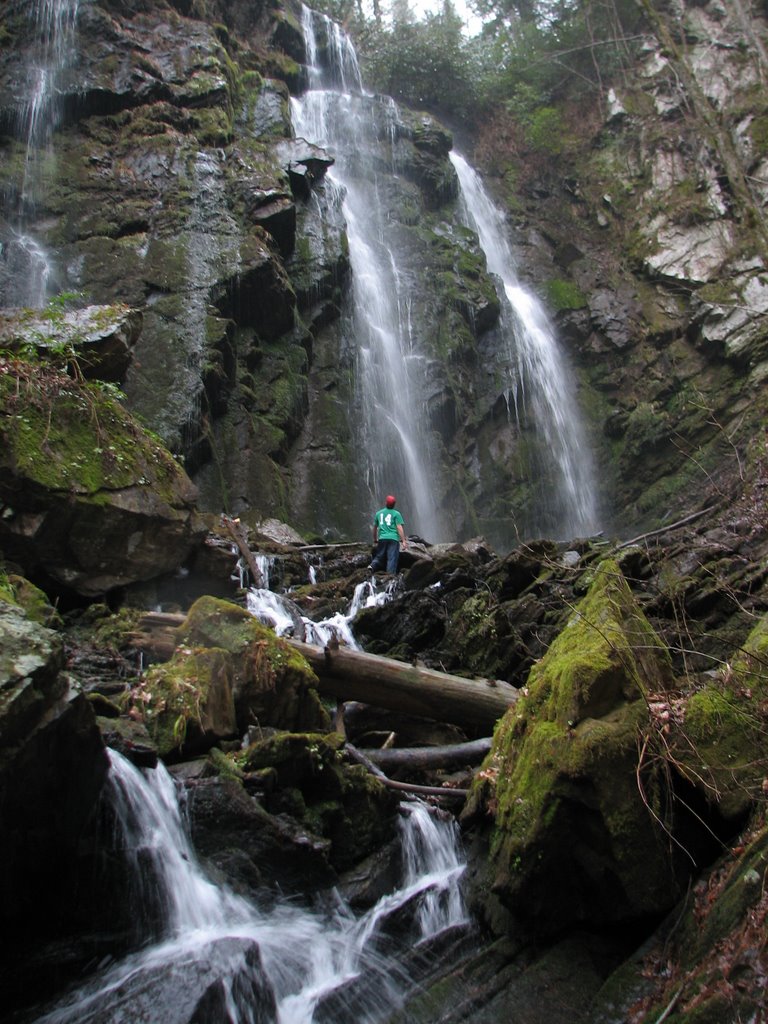
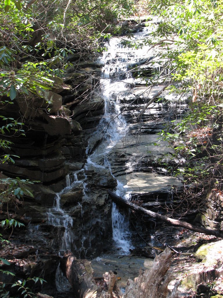
We navigated the three kayaks between the shore and a small island then turned right into a cove. The cove slowly narrowed and the sound of rushing water filled the air. Wright Creek Falls sat nestled in a crook at the very end of the cove. Huge rocks littered the bottom of the cove, some of which were as shallow as the dips of our paddles. Other spots were obviously ten feet deep or more, but with the crystal clear water of Jocassee, ten feet looks like a lot less.

According to Rocky, it's customary to get the front of your kayak wet under a waterfall, so we each took our separate turns splashing the cold, mountain-creek water on the tips of our boats. I believe that my commitment in this tradition was much greater than the others', because the tip of my kayak was two feet closer to the opening where I sat than was theirs.

We relaxed for a while with our feet propped on the tops of the shells until I decided that I wanted to get out and explore the waterfall from a closer vantage point. I pulled to the shore, got out and made my way through the underbrush and spiderwebs to the second tier of the falls. The total height of the falls is probably fifty feet, maybe a bit higher. Rocky explained that the last time he visited the falls at Wright Creek, the lowest tier was hitting the rock bottom of the lake. [A video on this site shows the low levels of the lake a couple years back - the place where the woman is standing in the video is under a few feet of water now]

The end of break time found us eating a small snack. Paddles hit water and we were on our way back toward the ramp. About halfway to our final destination, a group of common loons greeted us. Six or seven of the sharp-billed, light brown waterfowl took turns diving for fish. I paddled within ten feet of one, which quickly ducked under the water. The rest of the 3.4 miles back were relatively uneventful with the exception of several boat wakes to make the ride interesting - one of which almost made it into my kayak.

The boat ramp was much busier than when we had arrived. A dozen people or more scurried about pulling kayaks into the water and strapping camping gear to them in order to go to a remote campsite. Once everyone was out of the way, we pulled up to the ramp and got out.

I wanted to try one of the narrow kayaks and Rocky wanted to try Doc's, so I jumped in (rather, I slowly slinked into) the blue boat while Rocky sped about in the red 14.5'. The slender kayak paddled incredibly easily compared to the stubby one. I felt as though I was flying on water. Doc wanted to try the blue because it had a rudder, so I got out and let him take his turn while Rocky continued speeding around in the red. "I got it up to 6 miles per hour," Rocky stated, citing his GPS.

We dragged the boats onto the pavement and loaded them onto the vehicles. Rocky waved goodbye and was off as Doc tied off his kayak. We hopped in the truck and headed back out toward the highway, all the while I read a book on the furbearers of South Carolina which Rocky had so eagerly given away. Who knew that muskrats could be so interesting?

We took a different route home than the way we had come. We rode on Highway 133 through Six Mile, then Maw Bridge Road to Central. Doc dropped me off and I walked in the apartment with new dreams of life on the water. Now, how can I get my hands on a kayak?!

Monday, September 04, 2006

Landslide Falls

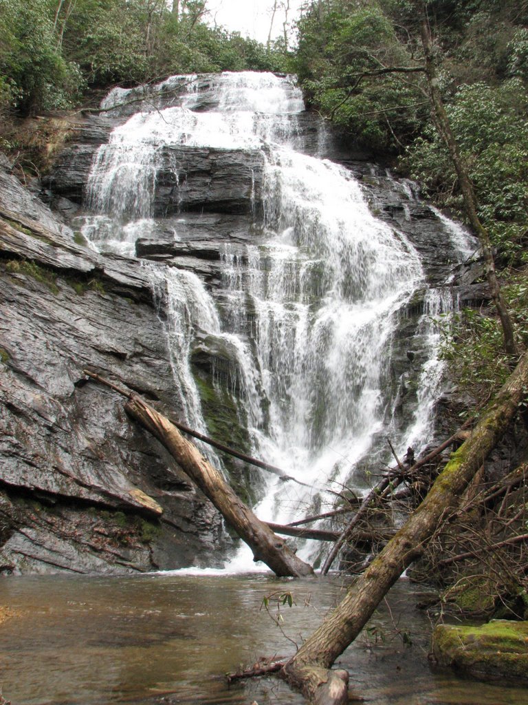
Andrew and I went hiking to Jones Gap Falls, which is located just west of Jones Gap State Park. The trail was fairly easy until we got to the bridge across the Middle Saluda River. "Trail Closed" a sign warned. We crossed the bridge and continued on unaware of what we would see. Pictures of the Jones Gap landslide had done it no justice. A giant gash was carved out of the hillside as high and as low as we could see. Giant rocks and large trees were strewn about like tinkertoys in a child's room.
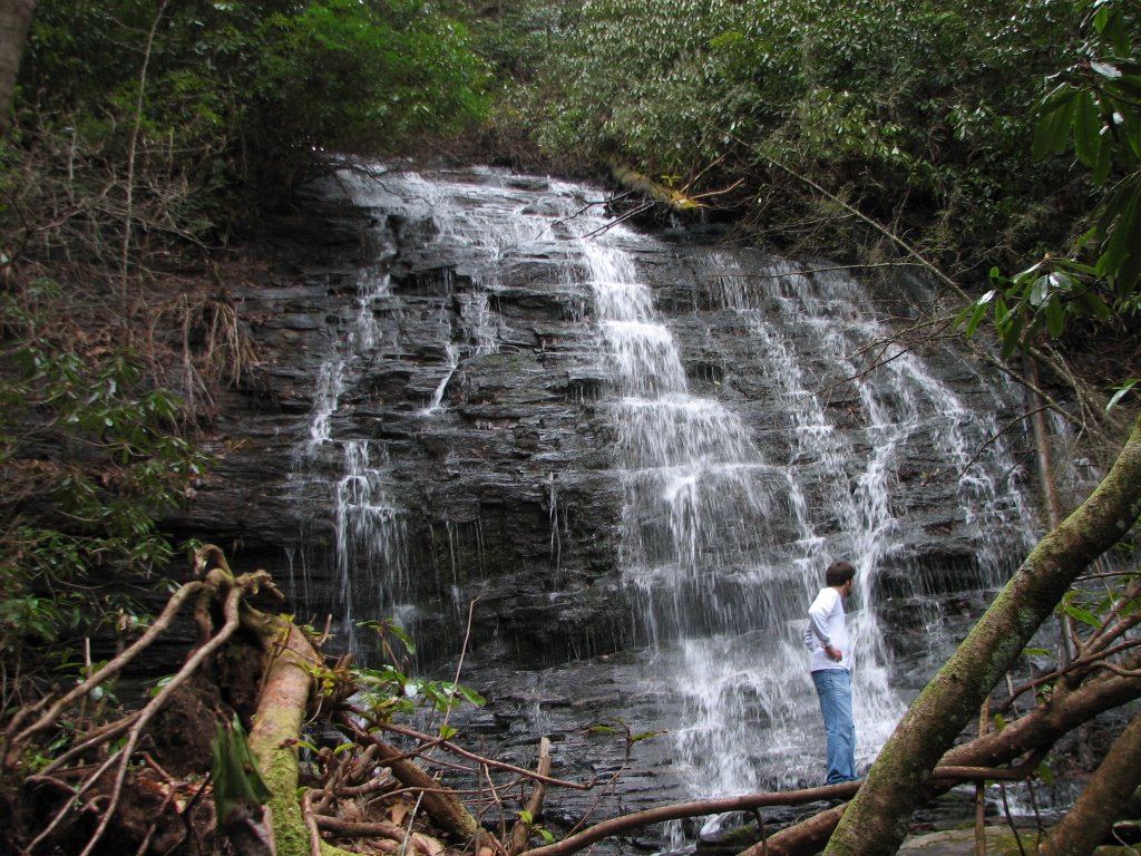
We proceeded to cross and continue on to Jones Gap Falls which made a right turn not far past the slide area. It was a serene place with the mixed sounds of trickling and splashing waters. A nice place to relax, shaded from both the sun and the cares of life. Check off another of the Upstate's waterfalls that I've visited.
The list is now as follows:
1. Big Bend Falls on the Chattooga River
2. Chauga Narrows on the Chauga River
3. Issaqueena Falls past Walhalla on Hwy. 28


4. King Creek Falls near Burrell's Ford on King's Creek by the Chattooga River


5. Spoonauger Falls near Burrell's Ford on Spoonauger Creek by the Chattooga River


6. Lee Falls on Tamassee Creek


7. Licklog Falls on the Chattooga River
8. Pigpen Falls on the Chattooga River
9. Lower Whitewater Falls at Lake Jocassee
10. Miuka Falls on the Winding Stairs Trail
11. Secret Falls off the Winding Stairs Trail
12. Station Cove Falls at the historic Oconee Station Site
13. Yellow Branch Falls across from Issaqueena Falls on Hwy. 28 past Walhalla


14. Falls Creek Falls on the east end of the Mountain Bridge Wilderness Area and Jones Gap State Park via Hospital Rock Trail


15. Jones Gap Falls on the Jones Gap Trail
16. Raven Cliff Falls from the top via the Foothills Trail and the lookout across the valley


17. Laurel Fork Falls on Lake Jocassee
18. Twin Falls west of Table Rock
19. Carrick Creek Falls in Table Rock State Park
20. Spring Bluff Falls via Pinnacle Mountain Trail
21. Mill Creek Falls via Pinnacle Mountain Trail


22. Reedy River Falls in downtown Greenville

Sunday, September 03, 2006

Cold Water and a Copperhead

[Original post March 27, 2006]
Saturday, Drew and I went hiking at Keowee-Toxaway State Park. The trail passed Natural Bridge and Raven Rock on the way to a lakeside view. Natural Bridge is a rock that is hollow underneath. A small creek passes under it. It was dissappointing to say the least. Raven Rock also left much to be desired. No ravens were to be seen...nor was much of anything else for that matter, except for trees and the rock.

The trail down to the lake was steep...really steep. I was scared that we wouldn't be able to make it back up with forty-pound packs on our backs. The trail spit us out on a small camping area beside a cove.


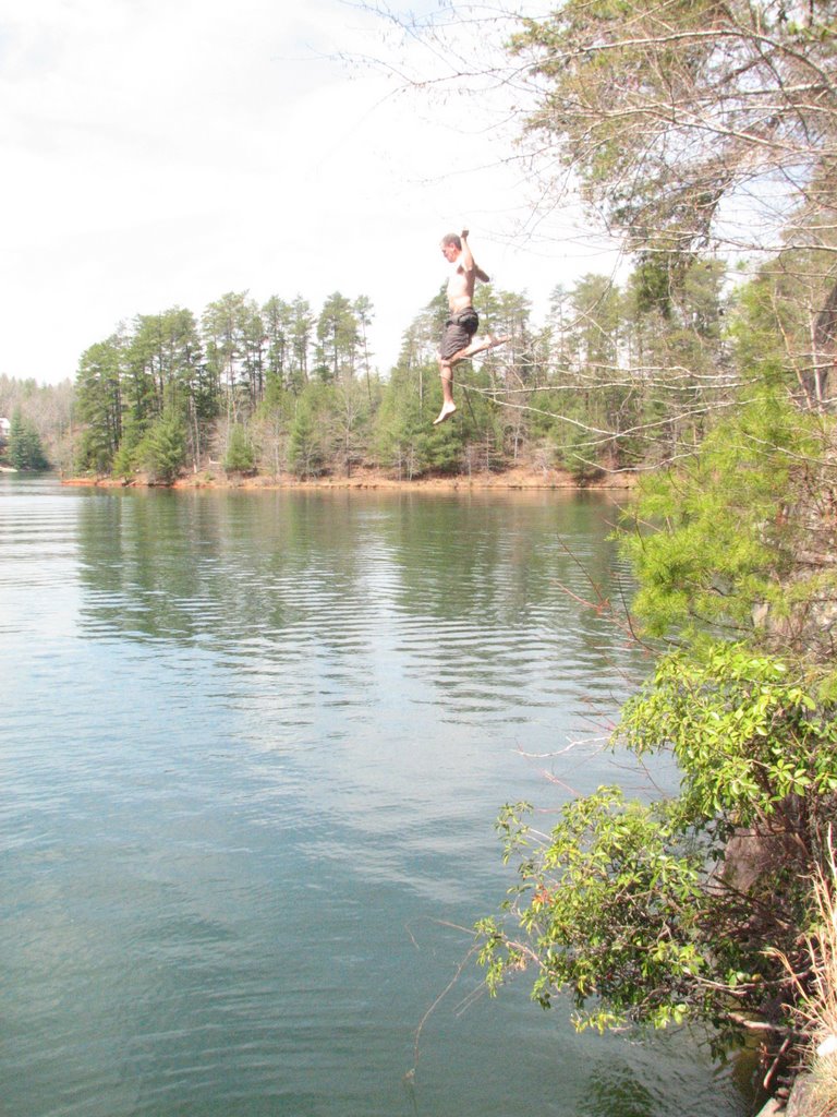
A golf course and several houses were across the lake from us, but at least we had the unspoiled cove. After getting our feet wet in the icy water, we noticed some large rocks about a hundred yards around the water's edge. We were compelled by some unseen force to get over to them. Steep hills and thick brush blocked our way, but nothing would keep us from our goal. We finally made it over to the rocks, which now seemed much higher off the water than from our previous vantage point. We made our way down to smaller rocks and, of course, Andrew had to jump in. I followed suit soon after. The water was frigid, but refreshing. Soon, Andrew decided that he would have to jump from the higher rocks, twenty-five feet off the water. With a running jump, flailing arms and a boy-like scream, Andrew flew out into the air.


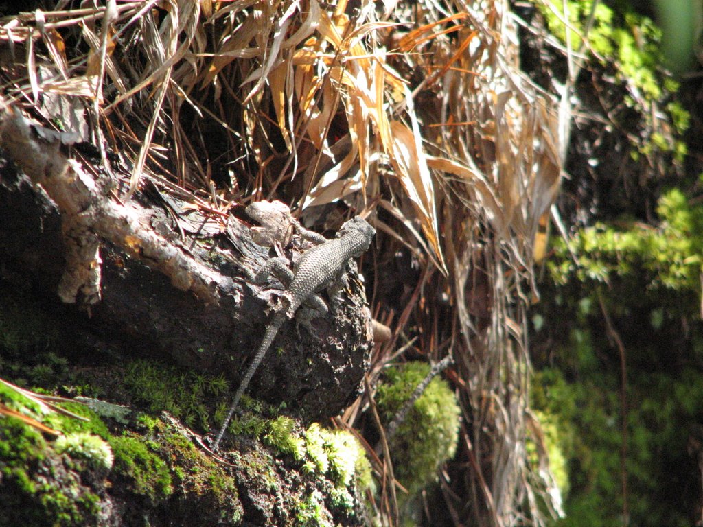
On our trip back, we saw a cool lizard.


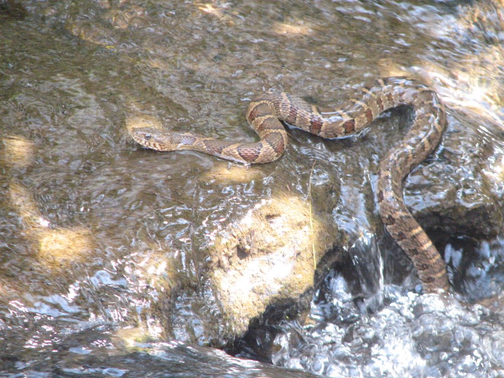
I nearly stepped on a Copperhead, so we had to take pics of it.


So what was in our packs to make them forty pounds?


Two dictionaries and a one-volume New Testament Commentary in my pack. A twelve-pack of Cheerwine, a camelpack, a Nalgene bottle and a Maglight in Andrew's pack.

We'll be back to go rock jumping soon. Guaranteed!

Saturday, September 02, 2006

Studio Backdrop

A cold breeze met us with absolute contempt. "Are you really dumb enough to go hiking today?" it smacked at our ears. "Why yes I am!" came the dumb reply from my mind. Since when has freezing temps kept us at home?
Liberty and Pickens breezed by us and Pumpkintown nearly missed us as we sped by. Caesar kept watch over the foothills and Piedmont, but we continued on to the trailhead for Raven Cliff.
By eleven we were leaving any trace of civilization behind. The trail began to undulate with the ridges and forty pounds in my pack seemed like a hundred. Soon, though, my tight muscles would relax and we maintained a quick pace. At the highest elevations, we looked out over the mountainous terrain which sprawled out beside us. The hillside below descended quickly and disappeared before touching bottom. The lowest elevations were hidden from our sight. The world was unreal for a time. It was as though we were in the world's largest movie lot. The terrain derectly beside us was real, but beyond that sharp edge lay the most beautiful studio backdrop I've ever seen. Mountains in their deep green met the sky with it's sharp blue. The Artist's work was incredible. No human touch could be seen; it was all God's awesome Creation.
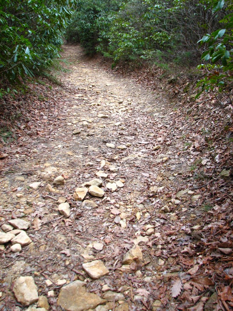
The trail began to descend slightly and soon we were on nearly flat ground. The winding dirt path became rocky and fell into what looked like an old streambed. We walked under the face of the earth for a while until the trail rose out of the deep rut. The way was still very rocky; our road looking like something from a Robert Frost poem.


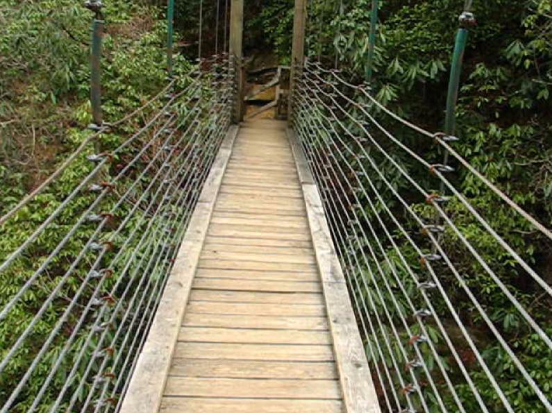
Soon, our path led us down to a river which we followed for a short while until we reached a bridge. The bridge was like none I've ever seen before. It was a wooden cable-supported suspension bridge. The cables were cemented into the rock on each side of the span. The bridge swayed with our steps but made not one sound in its moving.


(Sorry about the pic quality on this one, it is a screen capture from a video)
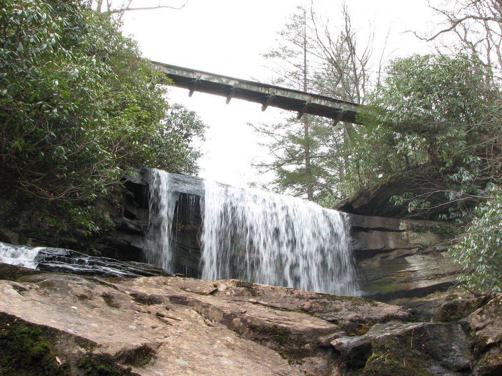
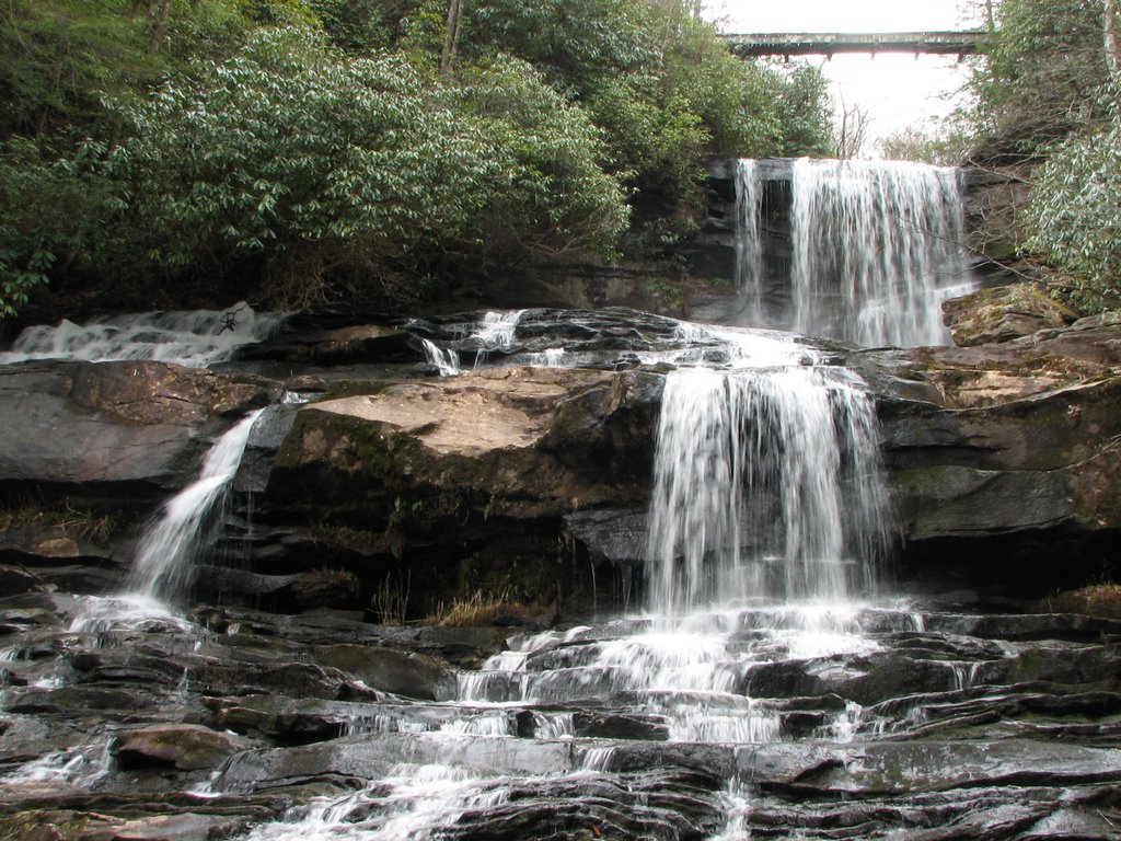
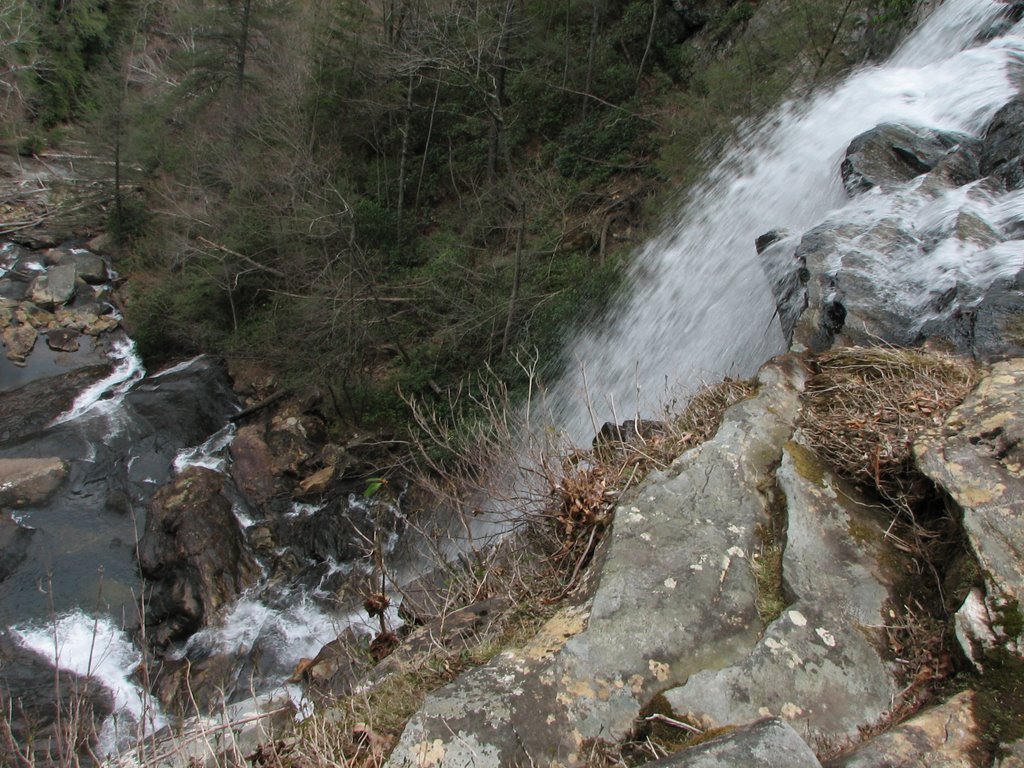
It wasn't long before we had to make our way down to the rocks. The navigation of the "trail" down to the falls was tricky to say the least. We finally made it down and began the tedious crossing of the slick rocks. We realized that this 420 foot waterfall was not one continuous drop, but a series of steps that culminated in one large plummet of well over a hundred feet.


As the egde came nearer, we slowed our pace. The world fell away to the depths, and our view became trees across the deep valley. Minutes passed as we built the courage to approach the edge. Thoughts of my fall earlier in the year crossed my mind and I hesitated to go any closer. I had to do it though; for me...and to get some cool photos. I hovered at the edge, teetering forward to get the entire shot down the falls. I couldn't take it for long and had to step back. It was Jarred's turn. I could hardly watch. I was able to walk to the edge, but I certainly couldn't watch anyone else do it. Thoughts of a splatter stain on the rocks below ran through my head as Jarred peered over the precipice.

We headed back to the trail and started the difficult climb back up to the bridge. I shot a quick video from the middle of the bridge (from which the photo of the bridge in this blog entry came from) and we were off. The four-mile hike back was a time of reflection, but our day was not over yet.

A quick stop at Caesar's Head gave Jarred the chance to climb in the Devil's Kitchen.


The view from Caesar's Head is a panorama of many of South Carolina's natural treasures. Table Rock and Pinnalce Mountain stand in sharp contrast to the Piedmont in the south. Just to the north (right) of Table Rock is Jones Gap, a deep and craggy valley that looks nearly impassable. Just below the observation deck and through Devil's Kitchen is a profile view of Caesar's Head.


We headed back to the car after a few minutes and started back toward Central. On the way down the snaking mountain highway, I put the car in neutral and coasted for several miles. Pumpkintown, Pickens and Liberty passed us again, waiving their backcountry hands and yellin' "Ya'll come back now!" I'm sure we'll be back again soon.